
Ogooué-Ivindo topographic map
Interactive map
Click on the map to display elevation.
About this map
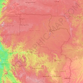
Name: Ogooué-Ivindo topographic map, elevation, terrain.
Location: Ogooué-Ivindo, Gabon (-1.95918 10.12879 3.16082 15.24879)
Average elevation: 487 m
Minimum elevation: 7 m
Maximum elevation: 1,186 m