
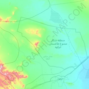
تیرجرد topographic map
Interactive map
Click on the map to display elevation.
About this map
Name: تیرجرد topographic map, elevation, terrain.
Location: تیرجرد, بخش مرکزی, Abarkuh County, Yazd Province, Iran (31.10181 52.80050 31.58893 53.45136)
Average elevation: 1,617 m
Minimum elevation: 1,459 m
Maximum elevation: 2,664 m