
Amakohia topographic map
Interactive map
Click on the map to display elevation.
About this map
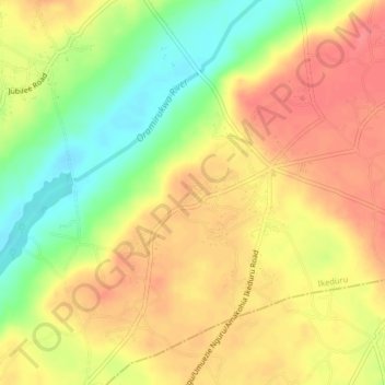
Name: Amakohia topographic map, elevation, terrain.
Location: Amakohia, Ikeduru, Imo, 462103, Nigeria (5.49667 7.16333 5.53667 7.20333)
Average elevation: 119 m
Minimum elevation: 80 m
Maximum elevation: 145 m