
Festac Town topographic map
Click on the map to display elevation.
About this map
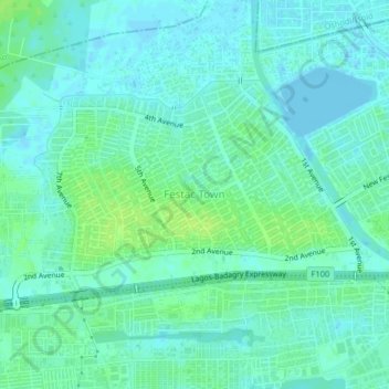
Name: Festac Town topographic map, elevation, terrain.
Location: Festac Town, Amuwo Odofin, Lagos State, 102102, Nigeria (6.44827 3.26394 6.48827 3.30394)
Average elevation: 5 m
Minimum elevation: -3 m
Maximum elevation: 12 m