
Thank you for supporting this site ❤️
Make a donation
Make a donation
Puurs-Sint-Amands topographic map
Click on the map to display elevation.
Thank you for supporting this site ❤️
Make a donation
Make a donation
About this map
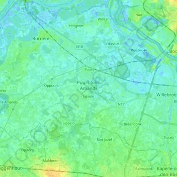
Name: Puurs-Sint-Amands topographic map, elevation, terrain.
Location: Puurs-Sint-Amands, Mechelen, Antwerp, Flanders, Belgium (51.02671 4.18699 51.10186 4.36089)
Average elevation: 5 m
Minimum elevation: -5 m
Maximum elevation: 21 m
Thank you for supporting this site ❤️
Make a donation
Make a donation
Other topographic maps
Click on a map to view its topography, its elevation and its terrain.