
Beech topographic map
Click on the map to display elevation.
About this map
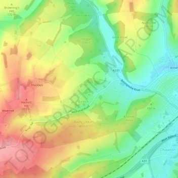
Name: Beech topographic map, elevation, terrain.
Location: Beech, East Hampshire, Hampshire, England, United Kingdom (51.12870 -1.04380 51.16172 -0.99162)
Average elevation: 157 m
Minimum elevation: 102 m
Maximum elevation: 220 m