
Thank you for supporting this site ❤️
Make a donation
Make a donation
Clark County topographic map
Click on the map to display elevation.
Thank you for supporting this site ❤️
Make a donation
Make a donation
About this map
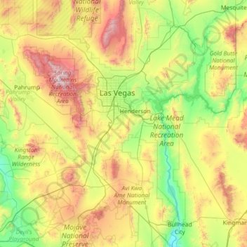
Name: Clark County topographic map, elevation, terrain.
Location: Clark County, Nevada, United States (35.00189 -115.89535 36.85409 -114.04629)
Average elevation: 968 m
Minimum elevation: 149 m
Maximum elevation: 3,536 m
Thank you for supporting this site ❤️
Make a donation
Make a donation