
Odo Oba topographic map
Click on the map to display elevation.
About this map
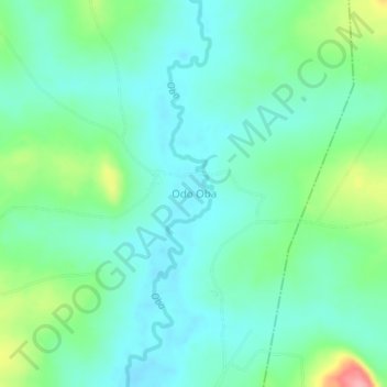
Name: Odo Oba topographic map, elevation, terrain.
Location: Odo Oba, Oyo East, Oyo State, Nigeria (7.88000 4.06333 7.92000 4.10333)
Average elevation: 272 m
Minimum elevation: 242 m
Maximum elevation: 362 m