
Thank you for supporting this site ❤️
Make a donation
Make a donation
Seungbong-ri topographic map
Click on the map to display elevation.
Thank you for supporting this site ❤️
Make a donation
Make a donation
About this map
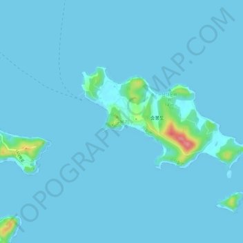
Name: Seungbong-ri topographic map, elevation, terrain.
Location: Seungbong-ri, Ongjin-gun, 23128, South Korea (37.14612 126.27868 37.18612 126.31868)
Average elevation: 4 m
Minimum elevation: 0 m
Maximum elevation: 90 m
Thank you for supporting this site ❤️
Make a donation
Make a donation