
Thank you for supporting this site ❤️
Make a donation
Make a donation
Warburg topographic map
Click on the map to display elevation.
Thank you for supporting this site ❤️
Make a donation
Make a donation
About this map
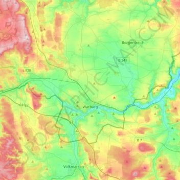
Name: Warburg topographic map, elevation, terrain.
Location: Warburg, Kreis Höxter, North Rhine-Westphalia, 34414, Germany (51.44155 8.90415 51.57829 9.27108)
Average elevation: 248 m
Minimum elevation: 134 m
Maximum elevation: 442 m
Thank you for supporting this site ❤️
Make a donation
Make a donation
Other topographic maps
Click on a map to view its topography, its elevation and its terrain.