
Thank you for supporting this site ❤️
Make a donation
Make a donation
Chickasaw topographic map
Click on the map to display elevation.
Thank you for supporting this site ❤️
Make a donation
Make a donation
About this map
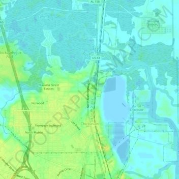
Name: Chickasaw topographic map, elevation, terrain.
Location: Chickasaw, Mobile County, Alabama, 36611, United States (30.75334 -88.10119 30.79175 -88.04800)
Average elevation: 6 m
Minimum elevation: -2 m
Maximum elevation: 15 m
Thank you for supporting this site ❤️
Make a donation
Make a donation
Other topographic maps
Click on a map to view its topography, its elevation and its terrain.