
Gällivare topographic map
Interactive map
Click on the map to display elevation.
About this map
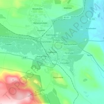
Name: Gällivare topographic map, elevation, terrain.
Location: Gällivare, Norrbotten County, Region Norrland, 98231, Sweden (67.09524 20.62048 67.17524 20.70048)
Average elevation: 403 m
Minimum elevation: 297 m
Maximum elevation: 784 m