
Thank you for supporting this site ❤️
Make a donation
Make a donation
Grünheide (Mark) topographic map
Click on the map to display elevation.
Thank you for supporting this site ❤️
Make a donation
Make a donation
About this map
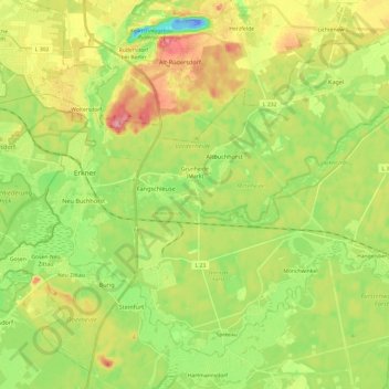
Name: Grünheide (Mark) topographic map, elevation, terrain.
Location: Grünheide (Mark), Oder-Spree, Brandenburg, 15537, Germany (52.35618 13.78275 52.47875 14.02422)
Average elevation: 43 m
Minimum elevation: -31 m
Maximum elevation: 99 m
Thank you for supporting this site ❤️
Make a donation
Make a donation
Other topographic maps
Click on a map to view its topography, its elevation and its terrain.