
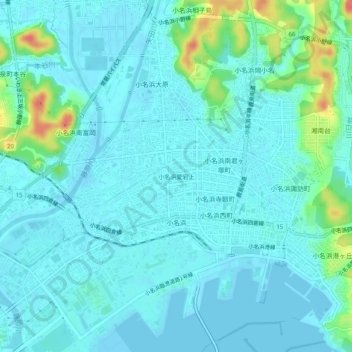
小名浜愛宕上 topographic map
Interactive map
Click on the map to display elevation.
About this map
Name: 小名浜愛宕上 topographic map, elevation, terrain.
Location: 小名浜愛宕上, いわき市, 福島県, 971-8166, 日本 (36.93523 140.87395 36.97523 140.91395)
Average elevation: 11 m
Minimum elevation: -2 m
Maximum elevation: 65 m
Other topographic maps
Click on a map to view its topography, its elevation and its terrain.