
Pátzcuaro topographic map
Interactive map
Click on the map to display elevation.
About this map
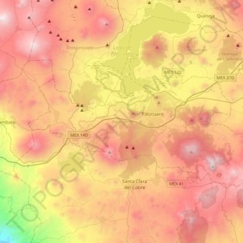
Name: Pátzcuaro topographic map, elevation, terrain.
Location: Pátzcuaro, Michoacán, Mexico (19.40056 -101.81225 19.60275 -101.41893)
Average elevation: 2,290 m
Minimum elevation: 1,050 m
Maximum elevation: 3,330 m