
Kemena River topographic map
Interactive map
Click on the map to display elevation.
About this map
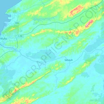
Name: Kemena River topographic map, elevation, terrain.
Location: Kemena River, Sebauh, Bintulu Division, Sarawak, Malaysia (3.10705 113.03241 3.17994 113.37106)
Average elevation: 38 m
Minimum elevation: -1 m
Maximum elevation: 337 m