
Surulere topographic map
Interactive map
Click on the map to display elevation.
About this map
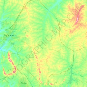
Name: Surulere topographic map, elevation, terrain.
Location: Surulere, Oyo, Nigeria (7.88844 4.28480 8.30400 4.56900)
Average elevation: 371 m
Minimum elevation: 283 m
Maximum elevation: 561 m
Other topographic maps
Click on a map to view its topography, its elevation and its terrain.