
Ogoni topographic map
Interactive map
Click on the map to display elevation.
About this map
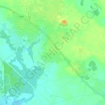
Name: Ogoni topographic map, elevation, terrain.
Location: Ogoni, Tai, Rivers, Nigeria (4.71392 7.21004 4.75392 7.25004)
Average elevation: 14 m
Minimum elevation: 3 m
Maximum elevation: 32 m