
Кыргызстан topographic map
Interactive map
Click on the map to display elevation.
About this map
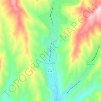
Name: Кыргызстан topographic map, elevation, terrain.
Location: Кыргызстан, Osh Region, Kyrgyzstan (40.89322 73.34671 40.93706 73.36452)
Average elevation: 1,250 m
Minimum elevation: 1,097 m
Maximum elevation: 1,460 m