
Al-Mashāshiṭa topographic map
Interactive map
Click on the map to display elevation.
About this map
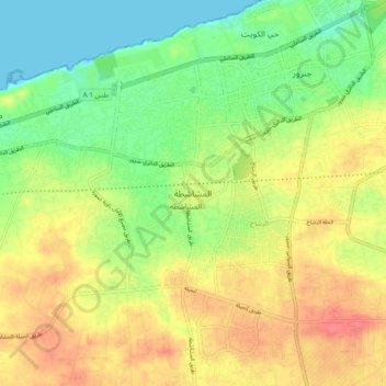
Name: Al-Mashāshiṭa topographic map, elevation, terrain.
Location: Al-Mashāshiṭa, Jafara, Libya (32.76046 12.95927 32.84046 13.03927)
Average elevation: 30 m
Minimum elevation: -1 m
Maximum elevation: 62 m