
Thank you for supporting this site ❤️
Make a donation
Make a donation
Adorf/Vogtland topographic map
Click on the map to display elevation.
Thank you for supporting this site ❤️
Make a donation
Make a donation
About this map
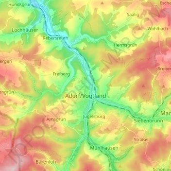
Name: Adorf/Vogtland topographic map, elevation, terrain.
Location: Adorf/Vogtland, Vogtlandkreis, Saxony, 08626, Germany (50.28822 12.17608 50.36328 12.30987)
Average elevation: 531 m
Minimum elevation: 412 m
Maximum elevation: 666 m
Thank you for supporting this site ❤️
Make a donation
Make a donation