
Wye topographic map
Click on the map to display elevation.
About this map
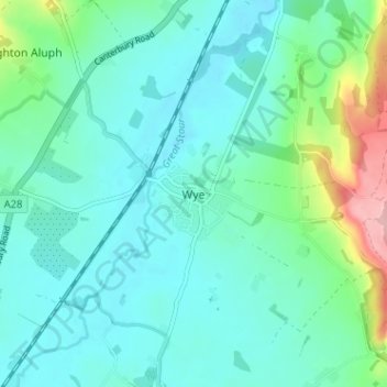
Name: Wye topographic map, elevation, terrain.
Location: Wye, Ashford, Kent, England, TN25 5BN, United Kingdom (51.16325 0.91692 51.20325 0.95692)
Average elevation: 55 m
Minimum elevation: 25 m
Maximum elevation: 178 m