
Kiribati topographic map
Interactive map
Click on the map to display elevation.
About this map
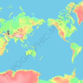
Name: Kiribati topographic map, elevation, terrain.
Location: Kiribati (-11.64600 -174.74336 4.90000 177.04791)
Average elevation: 368 m
Minimum elevation: -30 m
Maximum elevation: 6,529 m
Other topographic maps
Click on a map to view its topography, its elevation and its terrain.