
White Nile topographic map
Interactive map
Click on the map to display elevation.
About this map
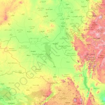
Name: White Nile topographic map, elevation, terrain.
Location: White Nile, Jonglei, PRIVATE BAG, South Sudan (-0.94419 30.20957 15.64297 33.28994)
Average elevation: 856 m
Minimum elevation: 0 m
Maximum elevation: 4,691 m