
guita topographic map
Interactive map
Click on the map to display elevation.
About this map
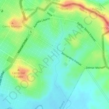
Name: guita topographic map, elevation, terrain.
Location: guita, Rivera, 40000, Uruguay (-30.91191 -55.52563 -30.91007 -55.52292)
Average elevation: 214 m
Minimum elevation: 185 m
Maximum elevation: 272 m