
Rumuji topographic map
Interactive map
Click on the map to display elevation.
About this map
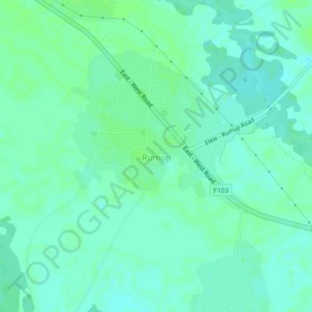
Name: Rumuji topographic map, elevation, terrain.
Location: Rumuji, Emuoha, Rivers State, Nigeria (4.91828 6.76032 4.95828 6.80032)
Average elevation: 8 m
Minimum elevation: 3 m
Maximum elevation: 13 m