
Achinatang topographic map
Interactive map
Click on the map to display elevation.
About this map
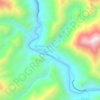
Name: Achinatang topographic map, elevation, terrain.
Location: Achinatang, Leh District, Jammu and Kashmir, India (34.48471 76.61186 34.52471 76.65186)
Average elevation: 3,146 m
Minimum elevation: 2,791 m
Maximum elevation: 3,935 m