
Huai River topographic map
Interactive map
Click on the map to display elevation.
About this map
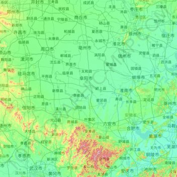
Name: Huai River topographic map, elevation, terrain.
Location: Huai River, Gushi County, Xinyang City, Henan, 233300, PRC (32.24260 113.27488 33.19447 118.58936)
Average elevation: 90 m
Minimum elevation: 0 m
Maximum elevation: 1,686 m