
Mani topographic map
Interactive map
Click on the map to display elevation.
About this map
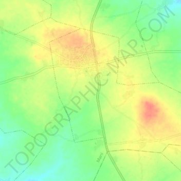
Name: Mani topographic map, elevation, terrain.
Location: Mani, Katsina, Nigeria (12.81990 7.86125 12.86757 7.93215)
Average elevation: 509 m
Minimum elevation: 487 m
Maximum elevation: 534 m