
Cary topographic map
Interactive map
Click on the map to display elevation.
About this map
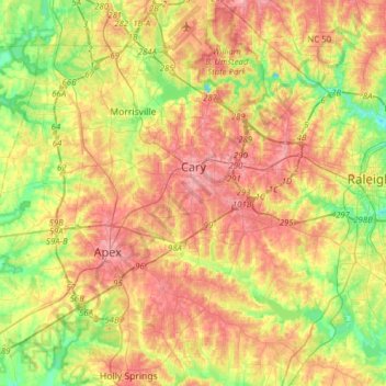
Name: Cary topographic map, elevation, terrain.
Location: Cary, Wake County, North Carolina, USA (35.64437 -78.94311 35.89682 -78.72945)
Average elevation: 111 m
Minimum elevation: 60 m
Maximum elevation: 160 m