
Jahun topographic map
Interactive map
Click on the map to display elevation.
About this map
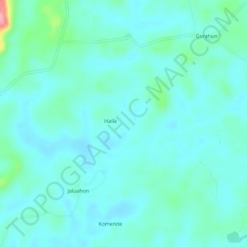
Name: Jahun topographic map, elevation, terrain.
Location: Jahun, Kenema District, Eastern Province, Sierra Leone (7.77956 -11.13450 7.81956 -11.09450)
Average elevation: 154 m
Minimum elevation: 136 m
Maximum elevation: 252 m