
Gogrial topographic map
Interactive map
Click on the map to display elevation.
About this map
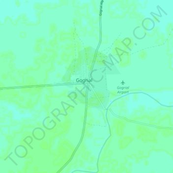
Name: Gogrial topographic map, elevation, terrain.
Location: Gogrial, Warrap, South Sudan (8.49151 28.05965 8.57151 28.13965)
Average elevation: 415 m
Minimum elevation: 411 m
Maximum elevation: 418 m