
Daura topographic map
Interactive map
Click on the map to display elevation.
About this map
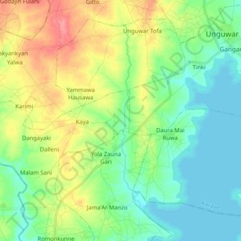
Name: Daura topographic map, elevation, terrain.
Location: Daura, Karaye, Kano State, Nigeria (11.67549 7.91369 11.79240 8.05499)
Average elevation: 544 m
Minimum elevation: 520 m
Maximum elevation: 590 m