
Great Dunmow topographic map
Interactive map
Click on the map to display elevation.
About this map
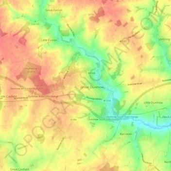
Name: Great Dunmow topographic map, elevation, terrain.
Average elevation: 81 m
Minimum elevation: 44 m
Maximum elevation: 108 m
Other topographic maps
Click on a map to view its topography, its elevation and its terrain.
Clavering
United Kingdom > England > Uttlesford
Clavering, Uttlesford, Essex, East of England, England, United Kingdom
Average elevation: 108 m