
Isaka topographic map
Interactive map
Click on the map to display elevation.
About this map
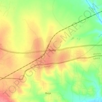
Name: Isaka topographic map, elevation, terrain.
Location: Isaka, Kahama Rural, Shinyanga, Lake Zone, Tanzania (-3.94563 32.90508 -3.86563 32.98508)
Average elevation: 1,180 m
Minimum elevation: 1,142 m
Maximum elevation: 1,213 m