
Mount McKinley topographic map
Interactive map
Click on the map to display elevation.
About this map
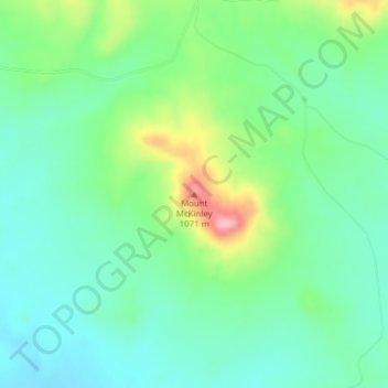
Name: Mount McKinley topographic map, elevation, terrain.
Location: Mount McKinley, Harding County, South Dakota, USA (45.86634 -103.65664 45.86644 -103.65654)
Average elevation: 980 m
Minimum elevation: 937 m
Maximum elevation: 1,086 m
Other topographic maps
Click on a map to view its topography, its elevation and its terrain.
Sisseton
USA > South Dakota > Sisseton
Sisseton, Roberts County, South Dakota, 57262, USA
Average elevation: 376 m