
Ogbunike topographic map
Interactive map
Click on the map to display elevation.
About this map
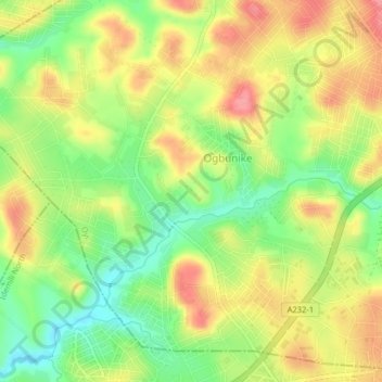
Name: Ogbunike topographic map, elevation, terrain.
Location: Ogbunike, Oyi, Anambra State, Nigeria (6.16333 6.83000 6.20333 6.87000)
Average elevation: 105 m
Minimum elevation: 54 m
Maximum elevation: 156 m