
Olumo topographic map
Interactive map
Click on the map to display elevation.
About this map
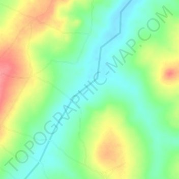
Name: Olumo topographic map, elevation, terrain.
Location: Olumo, Asa, Kwara State, Nigeria (8.61333 4.28000 8.65333 4.32000)
Average elevation: 302 m
Minimum elevation: 271 m
Maximum elevation: 349 m