
Napoleon Township topographic map
Interactive map
Click on the map to display elevation.
About this map
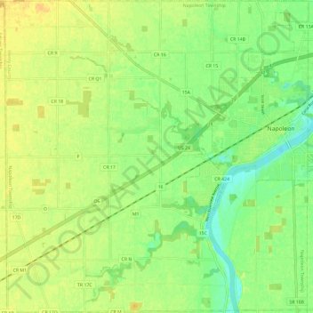
Name: Napoleon Township topographic map, elevation, terrain.
Location: Napoleon Township, Henry County, Ohio, 43545, United States (41.34049 -84.22844 41.42811 -84.11495)
Average elevation: 210 m
Minimum elevation: 196 m
Maximum elevation: 222 m