
Lukosi topographic map
Interactive map
Click on the map to display elevation.
About this map
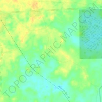
Name: Lukosi topographic map, elevation, terrain.
Location: Lukosi, Obafemi Owode, Ogun State, Nigeria (6.84213 3.32308 6.88213 3.36308)
Average elevation: 17 m
Minimum elevation: 3 m
Maximum elevation: 32 m