
Idah topographic map
Interactive map
Click on the map to display elevation.
About this map
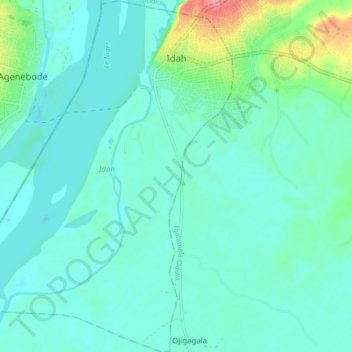
Name: Idah topographic map, elevation, terrain.
Location: Idah, Kogi State, Nigeria (7.03934 6.68384 7.12373 6.74776)
Average elevation: 36 m
Minimum elevation: 20 m
Maximum elevation: 110 m
Other topographic maps
Click on a map to view its topography, its elevation and its terrain.
Ede
Nigeria > Kogi State > Olamaboro > Ede
Ede, Olamaboro, Kogi State, Nigeria
Average elevation: 359 m