
Donga topographic map
Interactive map
Click on the map to display elevation.
About this map
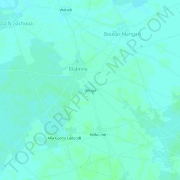
Name: Donga topographic map, elevation, terrain.
Location: Donga, Blabrine, Diffa, Diffa Region, Niger (13.43570 12.73955 13.47570 12.77955)
Average elevation: 301 m
Minimum elevation: 298 m
Maximum elevation: 303 m