
Rotan topographic map
Interactive map
Click on the map to display elevation.
About this map
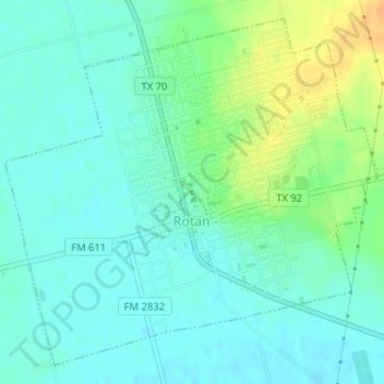
Name: Rotan topographic map, elevation, terrain.
Location: Rotan, Fisher County, Texas, 79546, United States (32.84189 -100.48134 32.86631 -100.45008)
Average elevation: 598 m
Minimum elevation: 588 m
Maximum elevation: 621 m