
Kudan topographic map
Interactive map
Click on the map to display elevation.
About this map
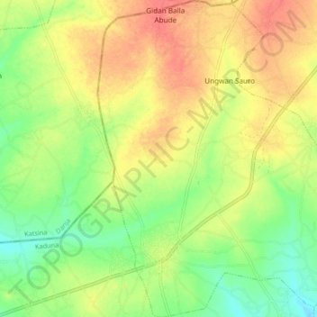
Name: Kudan topographic map, elevation, terrain.
Location: Kudan, Kaduna, Nigeria (11.28978 7.71572 11.37035 7.78593)
Average elevation: 671 m
Minimum elevation: 642 m
Maximum elevation: 699 m