
Kaduna River topographic map
Interactive map
Click on the map to display elevation.
About this map
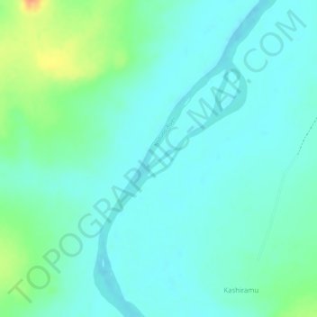
Name: Kaduna River topographic map, elevation, terrain.
Location: Kaduna River, Gwaraji, Igabi, Kaduna, Nigeria (10.55634 7.74716 10.55839 7.75034)
Average elevation: 608 m
Minimum elevation: 596 m
Maximum elevation: 640 m