
Pico Duarte topographic map
Interactive map
Click on the map to display elevation.
About this map
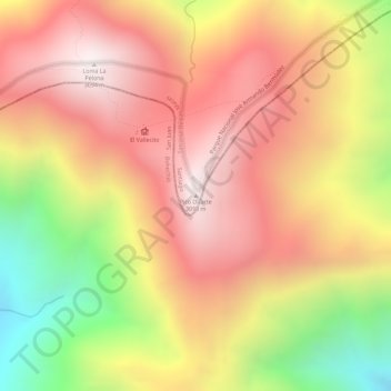
Name: Pico Duarte topographic map, elevation, terrain.
Location: Pico Duarte, San José De Las Matas, Santiago, D.R. (19.02294 -70.99810 19.02304 -70.99800)
Average elevation: 2,750 m
Minimum elevation: 2,198 m
Maximum elevation: 3,093 m