
Bsharri topographic map
Interactive map
Click on the map to display elevation.
About this map
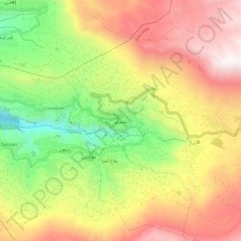
Name: Bsharri topographic map, elevation, terrain.
Location: Bsharri, Bsharri District, North Governorate, Lebanon (34.21043 35.97056 34.29043 36.05056)
Average elevation: 1,855 m
Minimum elevation: 889 m
Maximum elevation: 2,831 m