
Thank you for supporting this site ❤️
Make a donation
Make a donation
Red Den topographic map
Click on the map to display elevation.
Thank you for supporting this site ❤️
Make a donation
Make a donation
About this map
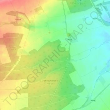
Name: Red Den topographic map, elevation, terrain.
Location: Red Den, Angus, Scotland, DD9 6UN, United Kingdom (56.68369 -2.67585 56.69144 -2.61677)
Average elevation: 56 m
Minimum elevation: 18 m
Maximum elevation: 104 m
Thank you for supporting this site ❤️
Make a donation
Make a donation
Other topographic maps
Click on a map to view its topography, its elevation and its terrain.