
Garki topographic map
Interactive map
Click on the map to display elevation.
About this map
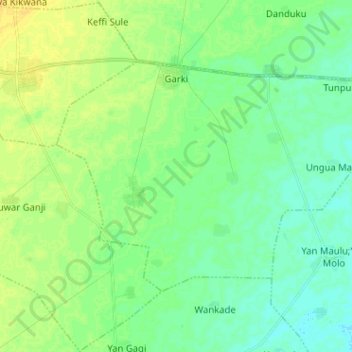
Name: Garki topographic map, elevation, terrain.
Location: Garki, Baure, Katsina, Nigeria (12.76228 8.75602 12.84370 8.88353)
Average elevation: 396 m
Minimum elevation: 388 m
Maximum elevation: 408 m