
Balanga topographic map
Interactive map
Click on the map to display elevation.
About this map
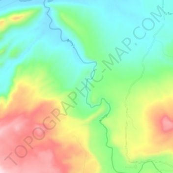
Name: Balanga topographic map, elevation, terrain.
Location: Balanga, Gombe, Nigeria (9.84753 11.61572 9.90450 11.64240)
Average elevation: 462 m
Minimum elevation: 316 m
Maximum elevation: 696 m
Other topographic maps
Click on a map to view its topography, its elevation and its terrain.